
Our Location
Ngaut Ngaut Conservation Park
Hunter Road, Nildottie, Murraylands,
South Australia, 5238
(5-minute drive from Nildottie Town Hall)
Details on how to arrive to Ngaut Ngaut Conservation Park will be provided upon confirmation of your visit.
Closest towns:
Swan Reach (20 km north of Ngaut Ngaut)
Mannum (50 km southeast of Ngaut Ngaut)
Adelaide (160 km southeast of Ngaut Ngaut)
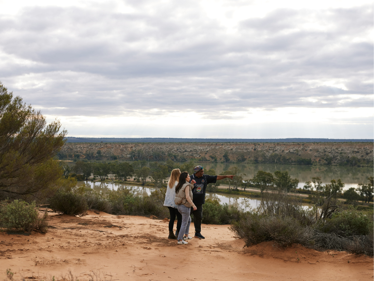
Ngaut Ngaut Conservation Park is located approximately 160 km northeast of Adelaide, along the eastern bank of the Murray River near the township of Nildottie.
This protected area spans 49 hectares and the park is renowned for its dramatic limestone cliff face, which features ancient Aboriginal rock engravings and petroglyphs that are among the earliest archaeological records in Australia.
The park is co-managed by the Mannum Aboriginal Community Association Incorporated and the South Australian Government, ensuring that cultural knowledge and environmental stewardship are preserved and shared through guided tours and educational programs.